The Century Course

The map below is from the Denver Bicycle Touring Club. They provide the finest map of Denver. Not just for bicyclists. Their link is at the bottom of the page.
  1. The Century start is Lions Park in Golden, just 1/4 mile north of the School of Mines. This is adjacent to the Golden Community Center where family members of riders can avail themselves of the Indoor Swimming Pool. Across from Lions park, is the Canoe and Kayak course. This was the National Championship Kayak and Open Canoe course in 1999. You will see many Kayakers practicing in this section of Clear Creek. It is also open to tubing by the public, so family members can try this if they bring their swim suits and a truck inner tube. If you look West from this park you see Lookout Mountain, where Buffalo Bill Cody is buried at the top. Also you view the Worlds Largest Illuminated Monogram....the M for the School of Mines. Just right of the M is the take off zone for the Hang Gliders who are usually in the air. Be sure you notice them flying above you. There are as many as 12 in the air at once on nice summer days. Even on New Years day, there were 4 flying this year.
    1. Starting Point - Lions Park

  2. We will travel eastward on 10th street past the Sports Park (including Public Outdoor Pool) and the Headquarters of the American Mountaineering Center, The Colorado Mountain Club, and the Colorado Outward Bound. Next we proceed East just North of the Coors Brewery. Here we are passing through the gateway to the Rockies. The Table Mountains on either side of you are the first mountains the miners passed through moving up to pursue Gold and Silver at Black Hawk and Central City. Please notice the Cliffs atop both of these table mountains. In particular, on your Left, North Table Mountain is a year around Climbers Training Ground. The vertical cliffs at the top will have 50 climbers practicing as you go by (unless the weather is unusual). Please notice them. They are visible from your roadway. Even on good winter days these cliffs are actively used for climbing. Also, please take care when crossing the Angled Railroad Tracks. Make sure you check traffic behind you (a rear view mirror is useful and recommended for this) before you approach the tracks at a safe angle.
    2. Looking Towards Coors Brewing and the Table Mountains.

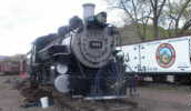
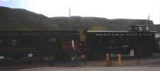
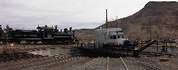
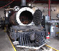
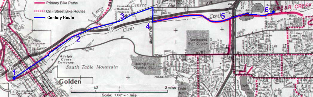
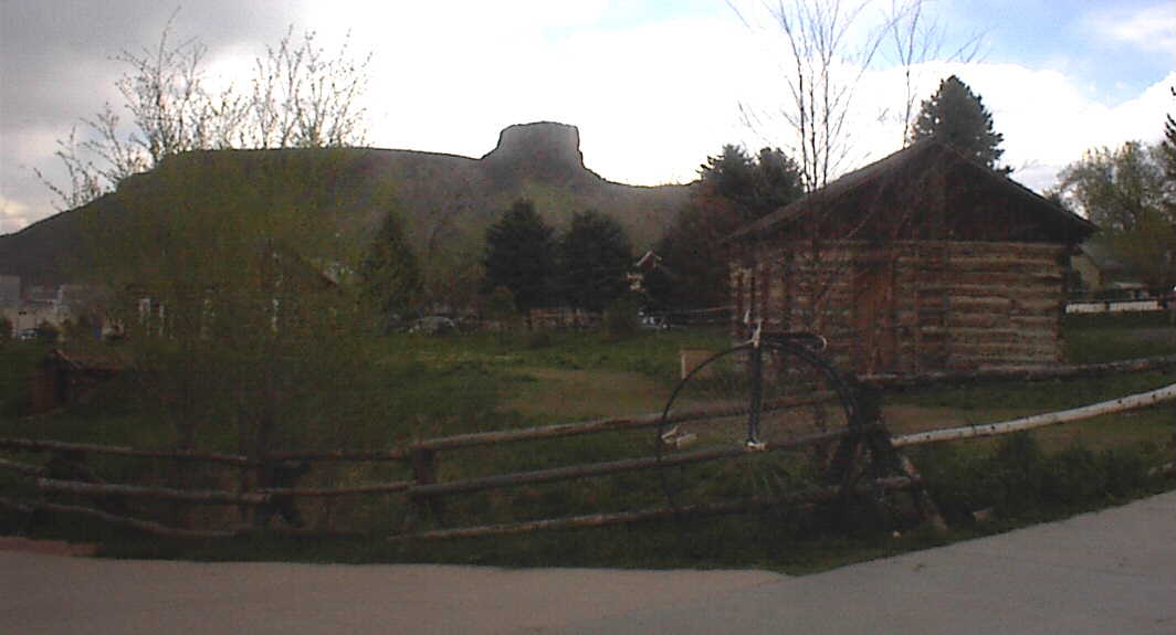
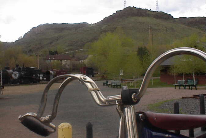
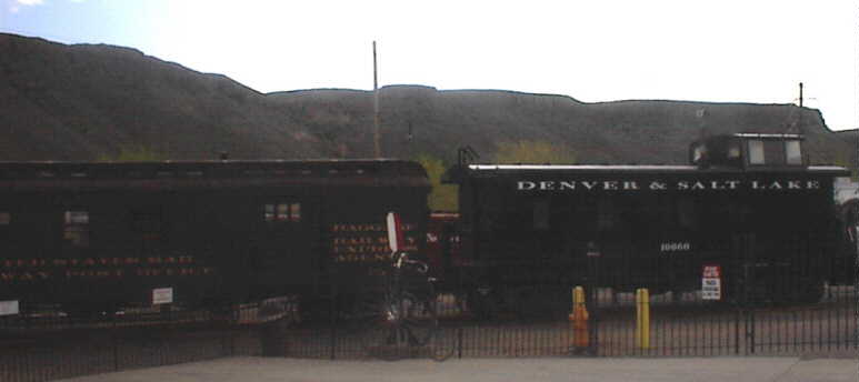
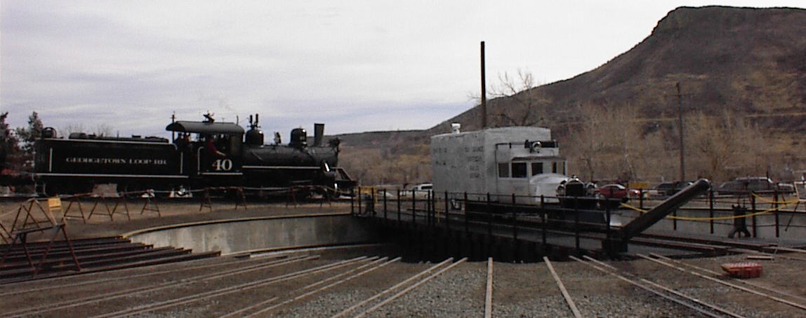
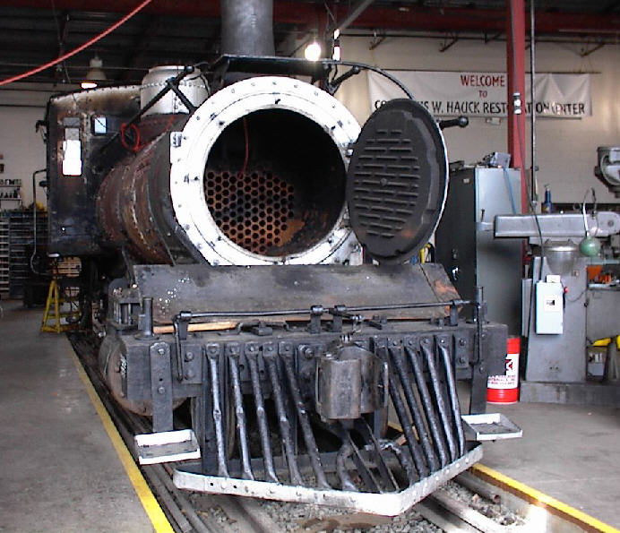
  3. Continuing East we pass the Colorado Railroad Museum which has a Round House and Antique Turntable. Make sure you notice this lovely outdoor museum. Just past the RR Museum, there is another RR crossing. This one has a bicycle diversion path (in each direction) which allows you to have a 90 degree crossing. Please slow down and use this safety route. It will be swept clean for the century.

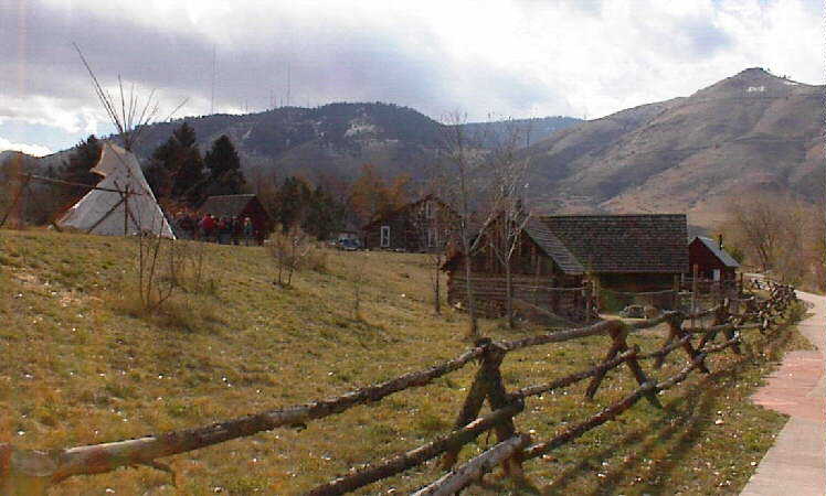
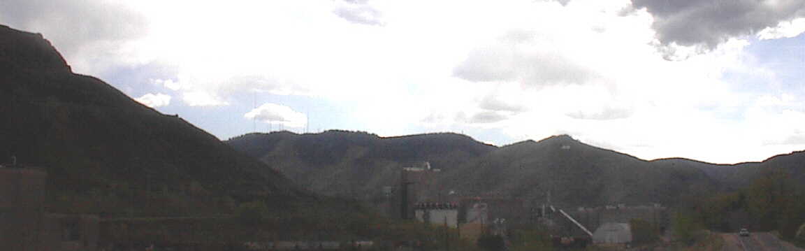
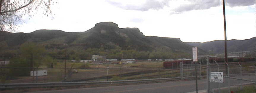
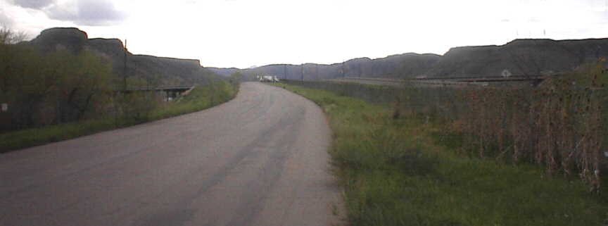
    You have now left the Mountains and are on the Plains. You will return to the Mountains later on each loop as you again enter between the Table Mountains. When you are returning, you should notice the far range of Snow Caps as well as Front Range Mountains in your view between the Table Mountains.

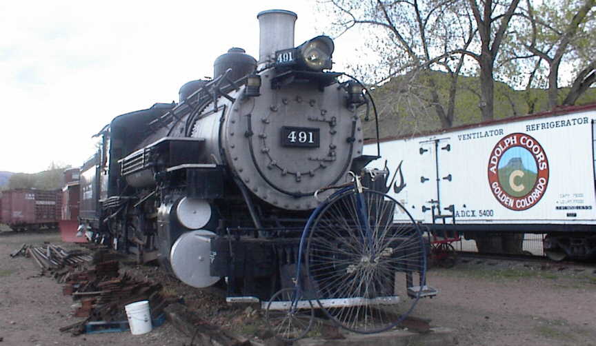
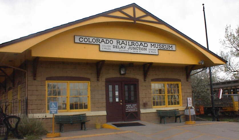
    3. The Colorado Railroad Museum.

  4. Continuing East, there will then be a stop light at McIntyre street where 10th Street then turns into 44th Avenue from Denver. At this point, we turn south for 1/4 mile, crossing over Rt. 58. Just past this crossing we turn left on the South frontage road and coast down to the start (West Terminus) of the Clear Creek bike trail...on your right just past the Port-a-Potty.
    4. The switch from Streets to Trail, South Table Mountain, looking toward Golden.

  5. The trail has a slight grade dropping as we move East (you will climb it coming west). It's surface is level and smooth, mostly concrete. Following Clear Creek, site of many gold explorations and discoveries in the 1850's, this section of the waterway offers a good feel for the settler's Colorado. There are still people who pan for gold in the creek. Keep your eyes open for them. Some have mechanical Sluice Boxes. On the path, please keep to the right at all times, except to pass. When approaching pedestrians and other riders announce your pass with "Passing on your Left" or ring your bike bell politely. There will be 2 creek crossings on wooden bridges. Also, you will drop under a I-70 Highway. On this drop and Climb, please again stay right and practice care. The climb is rideable by fixed gear (ordinary). Just 100 yards East of this crossing, we have Rest Room Facilities on the right.
    5. Along Clear Creek

  6. The turn around point is Prospect Park, 6-1/4 miles from the start point. You have dropped 270 feet over the 6.26 miles as you rode East. This is an average of 0.8 % grade. You will regain this altitude going West. Each end point of the course is a park and offers picnic areas and rest rooms. We will have support (sports drinks, fruit, etc.) and a required check-in for riders, as well as a shady rented pavilion in the parks at each end point of the course. Also, there are toilet facilities mid point on each route. You are never more than 2 miles from rest rooms. Each lap of the course is 12.52 miles for a total of 8 out and back trips for the century. Or 4 laps for the 50 mile ride. Any multiple of 12.5 is rideable. 5 laps provides a metric century.
    6. Turn around point at Prospect Park.